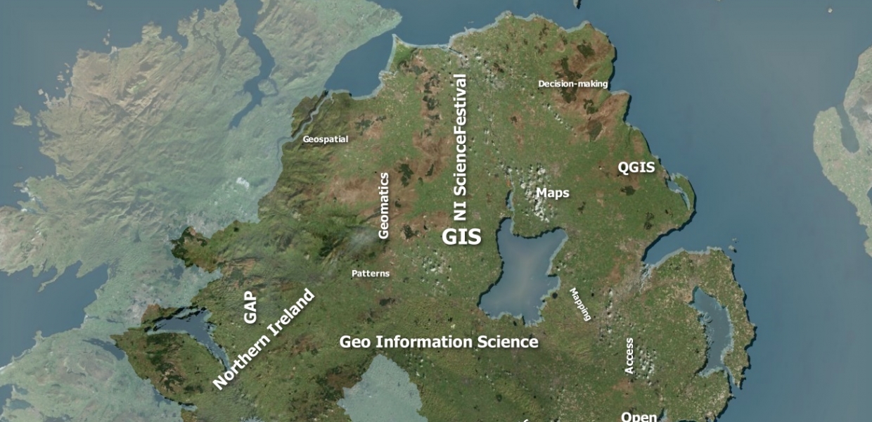
The popularity of open street maps is a great example of how open spatial data is increasingly commonplace in today’s society. This workshop focuses on the creation of maps using free open source software, free to access environmental demographic or health data. Maps can be created for fun, to visualise and emphasise a pattern or for decision making.
Join the Geographical Information Science team at GAP to choose your open data, learn about open Geographical Information Systems software (QGIS) and create and customise your own maps!


